3 US radar data (pvol)
This chapter describes polar volume (pvol) data from weather radars in the United States. It is one the main data sources for GloBAM.
3.1 Source
US pvol data are collected by the National Oceanic and Atmospheric Administration (NOAA), which operates a network of approximately 160 Next Generation Weather Radar (NEXRAD), WSR-88D sites in the US and associated territories. Archived polar volumes (pvols) (called “level II data” in the US) are stored on various services:
- Amazon S3, see NEXRAD on AWS. Archived data are hosted in the noaa-nexrad-level2 Amazon S3 bucket in the
us-east-1AWS region. These data are made available 10-20 minutes lag relative to real-time. There is also a real-time data stream, for which scans have not been merged yet into polar volumes. - Google Cloud.
3.2 License
There are no restrictions on the use of these data.
3.3 Geographical scope
The NEXRAD network covers continental US, Alaska, Hawaii, Guam, South Korea and Puerto Rico. Sites in use vary slightly over time, see here for more information, maps here.
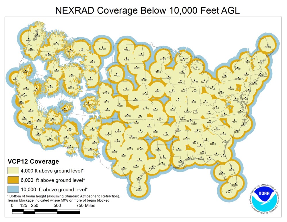
Figure 3.1: NEXRAD radar network in the lower 48 states
3.4 Temporal scope
The archive spans from June 1991 to present. However, during this time significant changes have been made. A resolution increase was implemented in 2008-2009 (so-called superresolution data). Dual polarization capabilities were added in 2010-2013.
3.5 Format
See this page for available decoding tools of the radar format. US pvol data can be read in bioRad with read_pvolfile().
3.6 File name conventions
From the AWS open data project documentation for archive data:
Each volume scan file of archival data is available as an object in Amazon S3. The basic data format is:
/<Year>/<Month>/<Day>/<NEXRAD Station/>/<filename>Where:
<Year>is the year the data was collected<Month>is the month of the year the data was collected<Day>is the day of the month the data was collected<NEXRAD Station>is the NEXRAD ground station (map of ground stations)<filename>is the name of the file containing the data. These are compressed files (compressed with gzip). The file name has more precise timestamp information.All files in the archive use the same compressed format (.gz). The data file names are, for example,
KAKQ20010101_080138.gz. The file naming convention is:
GGGGYYYYMMDD_TTTTTTWhere:
GGGG= Ground station ID (map of ground stations)YYYY= yearMM= monthDD= dayTTTTTT= time when data started to be collected (GMT)Note that the 2015 files have an additional field on the file name. It adds “_V06” to the end of the file name. An example is KABX20150303_001050_V06.gz.
3.7 Quality assurance
Unknown.
3.8 Storage & backup
US pvol data are stored on AWS and other cloud services, see 3.1.